Shallow ponds that have silted in
Water depth reduced by sediment accumulation over years of organic buildup.
Water Raptor helps Utah property owners determine when harvesting solves the immediate problem and when sediment buildup is the real limiter. The key decision is sequence: restore access first, then scope sediment work from what the bottom actually shows once vegetation is out.
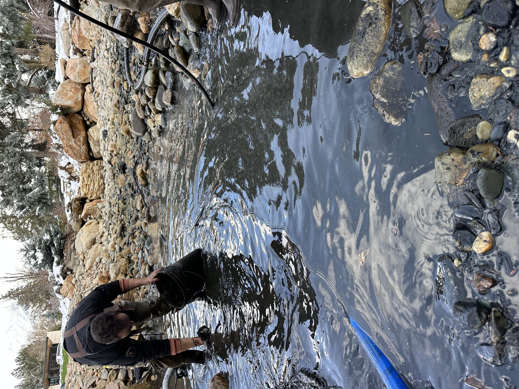
Sites where vegetation removal exposes sediment limits that can't be fixed with another harvest pass.
Water depth reduced by sediment accumulation over years of organic buildup.
Decomposed organic matter that reduces usable depth and supports weed root systems.
Invasive plants with deep rhizomes that will regrow unless sediment is addressed.
Retention ponds and basins that can no longer hold design volume due to fill.
Shallow entry points and channels that can no longer be used for access or intake.
Properties where vegetation removal exposes sediment as the primary remaining issue.
Practical sequencing that avoids over-scoping, underfunding, and rework.
Determine whether the main limiter is growth, sediment, or both before equipment is staged.
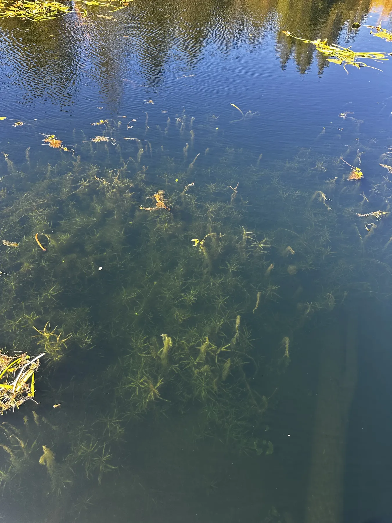
Harvest and remove overgrowth first so you can read actual bottom condition instead of guessing through canopy.
After clearing, identify muck pockets, shallow shelves, and silt depth that are reducing function and access.
Connect owners with restoration resources for dredging when that step is actually warranted.
Good fit for sediment assessment support
When another service may fit better
Dense growth can make sediment look worse or better than it is. Clearing first gives a real read on bottom condition, especially in Utah retention basins where inflow zones and outlet shelves behave differently.
That visibility prevents expensive mis-sequencing. Not every pond with muck needs immediate dredging; sometimes targeted access restoration and interval maintenance buy useful time while larger scope is planned.
Related: Aquatic harvesting · Pond & lake maintenance · Invasive plant removal
Answers about sequencing vegetation removal and deciding when sediment work should move first.
It is a planning-focused service that helps determine when vegetation removal is enough and when sediment depth and muck accumulation require broader restoration sequencing.
This service is designed as support and sequencing around vegetation and sediment conditions. We help define scope and coordinate next-step restoration planning where dredging is needed.
Clearing vegetation first improves visibility of the pond bottom and reveals actual sediment conditions, which leads to more accurate scope and budget planning.
Yes. Capacity loss from organic buildup and sediment is a common use case. We help identify whether immediate vegetation work, sediment planning, or both should be prioritized.
Yes. It is intended to reduce guesswork and sequence restoration work so owners can prioritize high-impact steps and avoid costly misordered scopes.
Tell us what is growing, where it is, and how access looks. We will recommend a practical harvesting, removal, treatment, or support approach.
No generic promises. We review your site details first, then recommend a scope path that matches actual field constraints.
Request a Quote